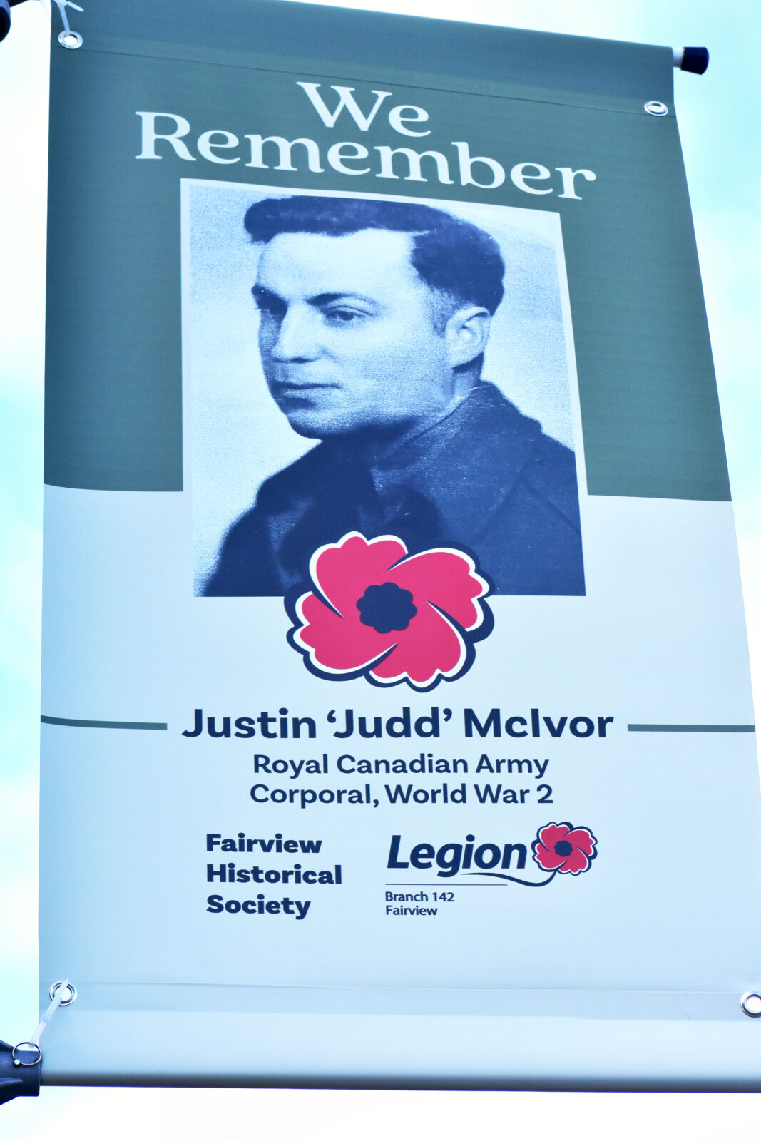
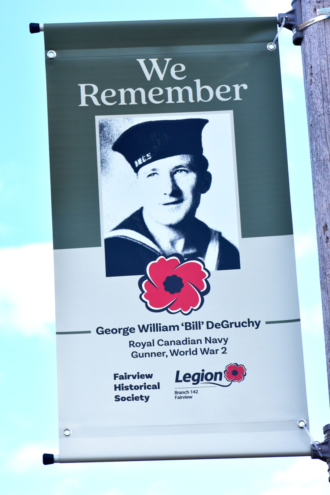
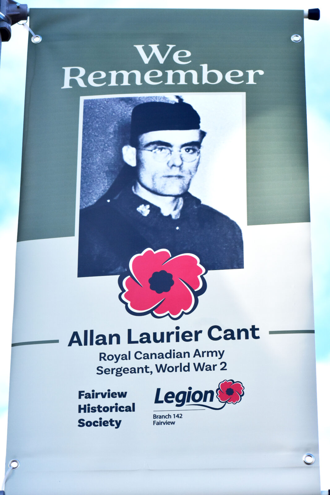
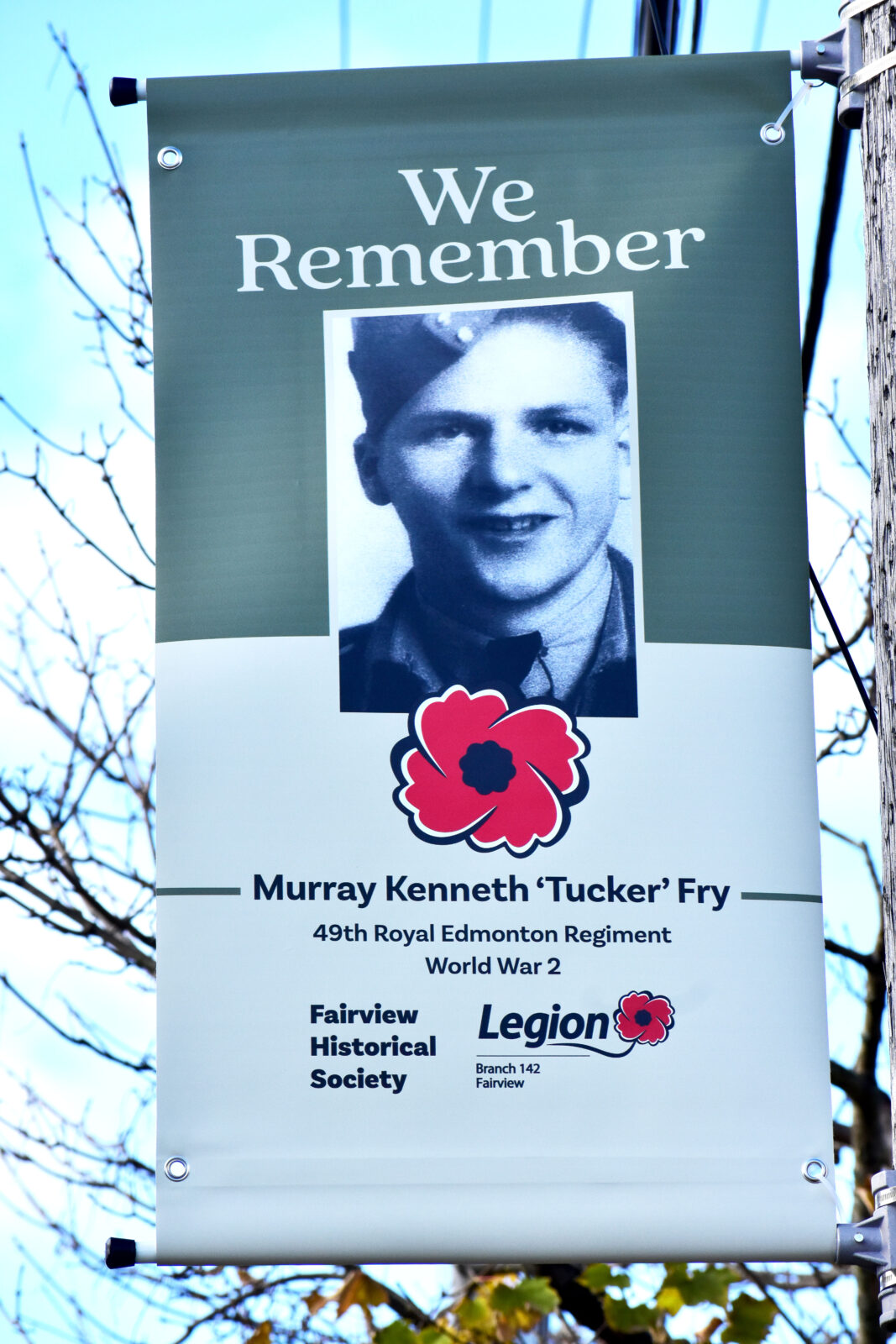
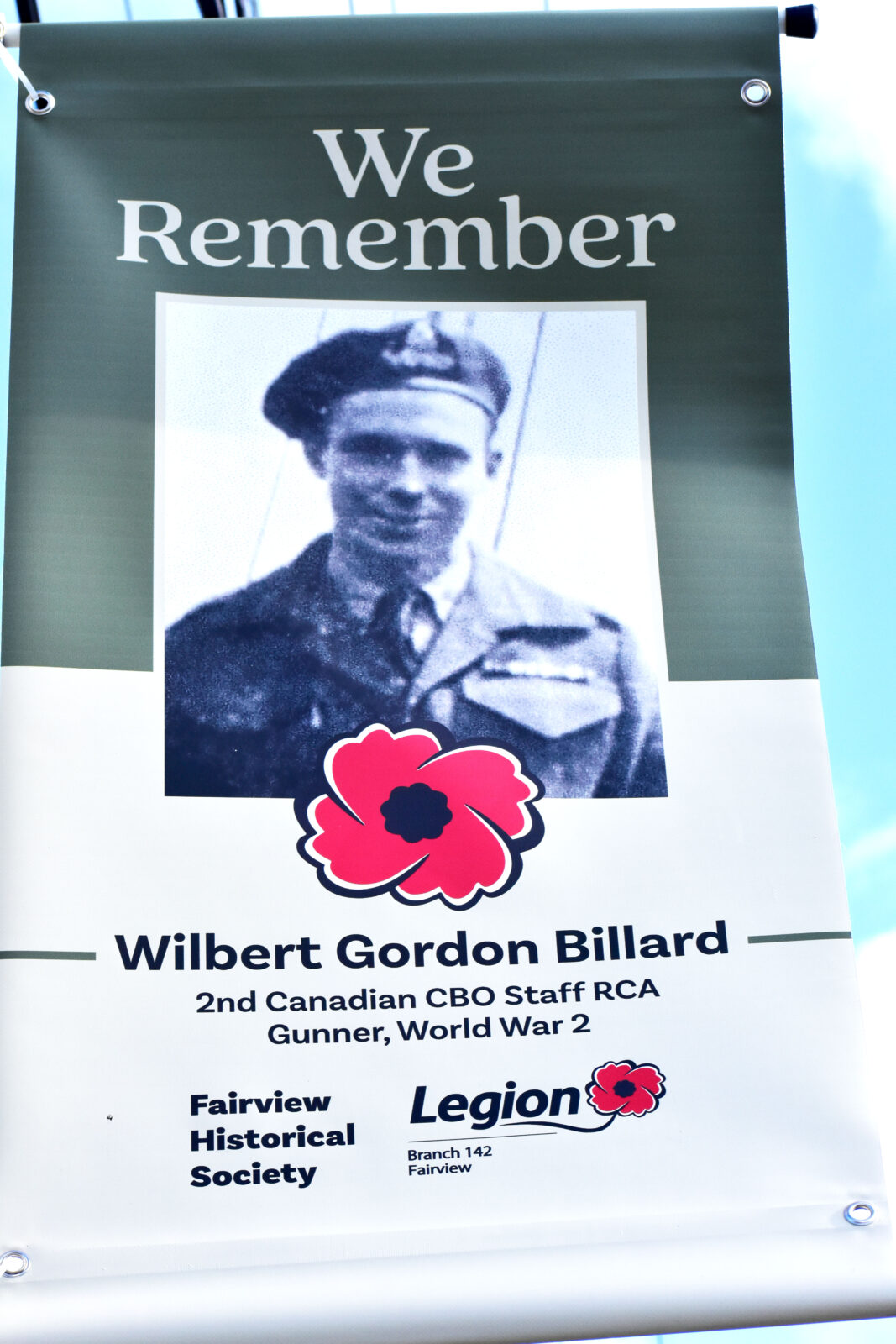
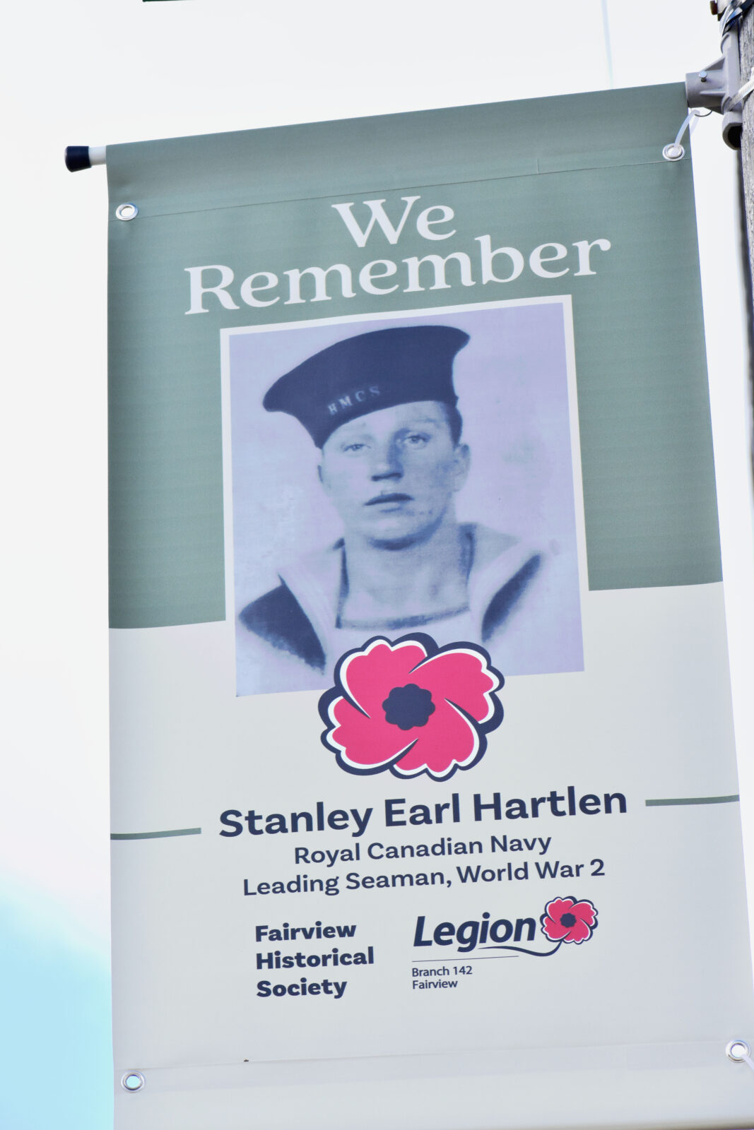
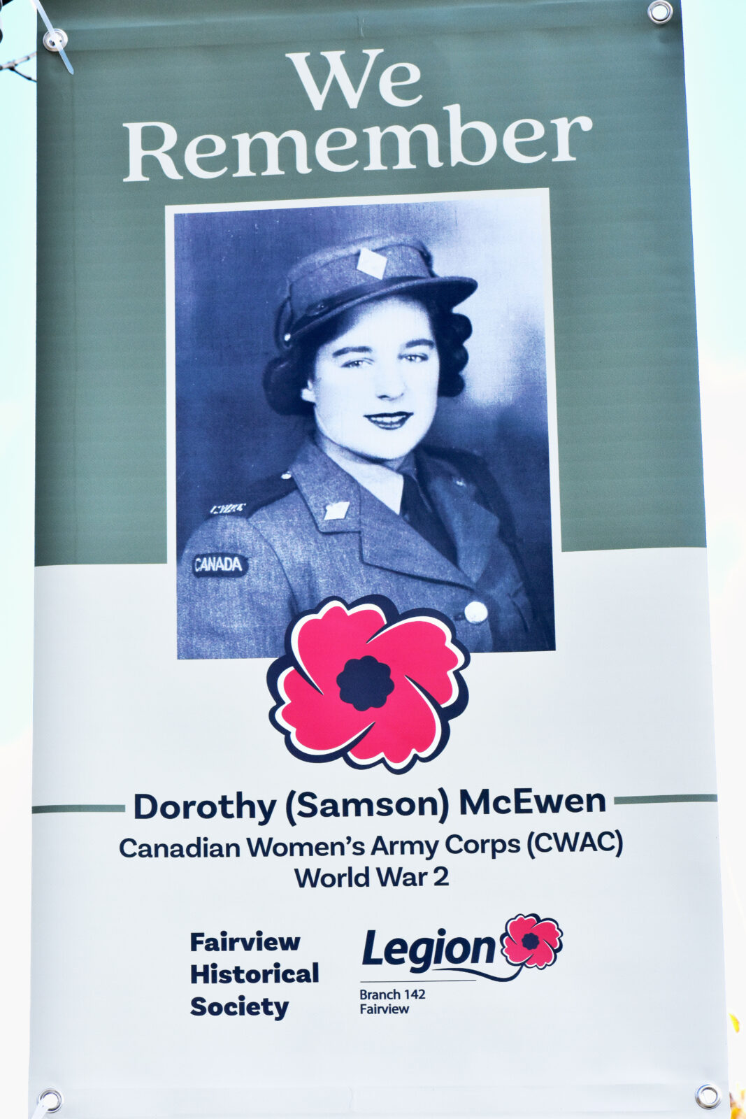
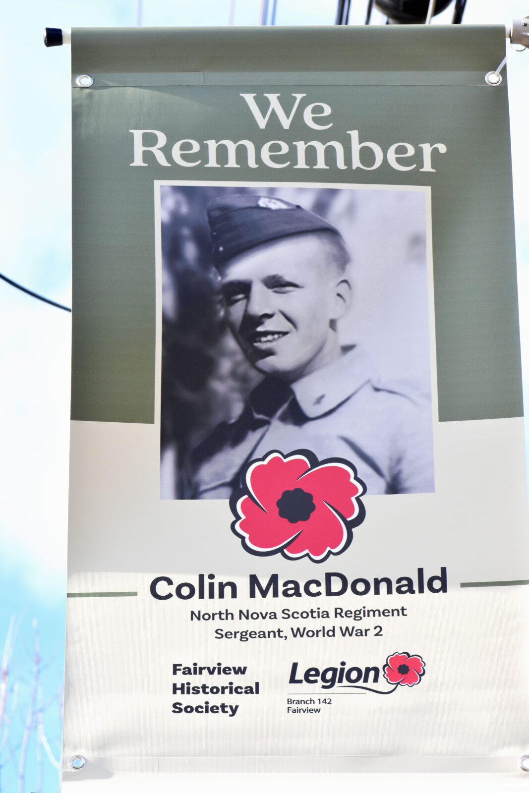
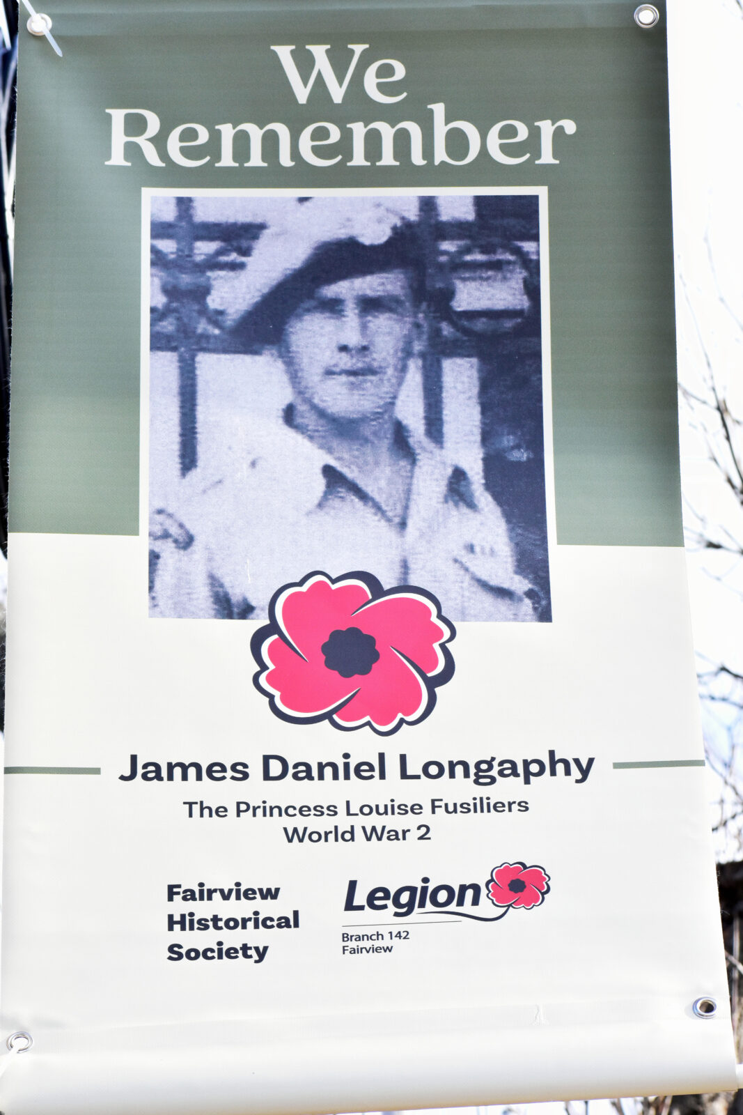
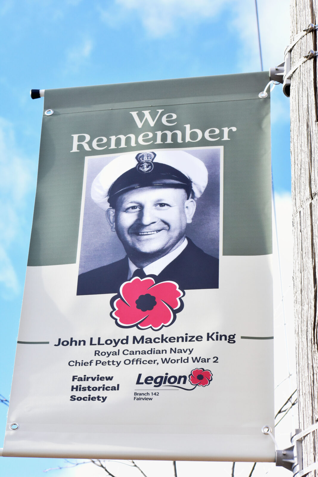
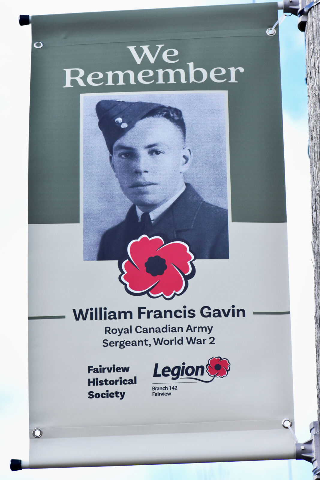
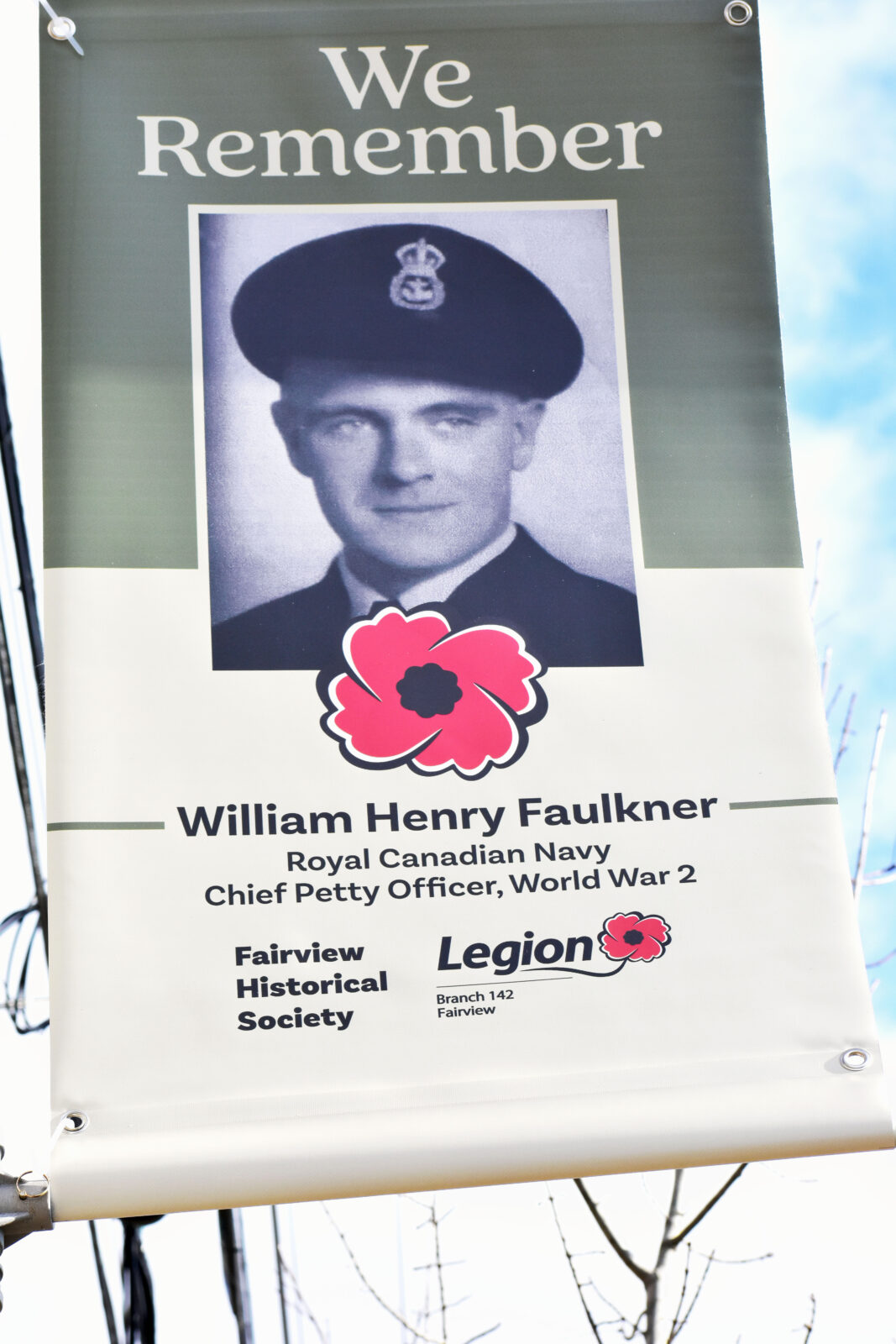
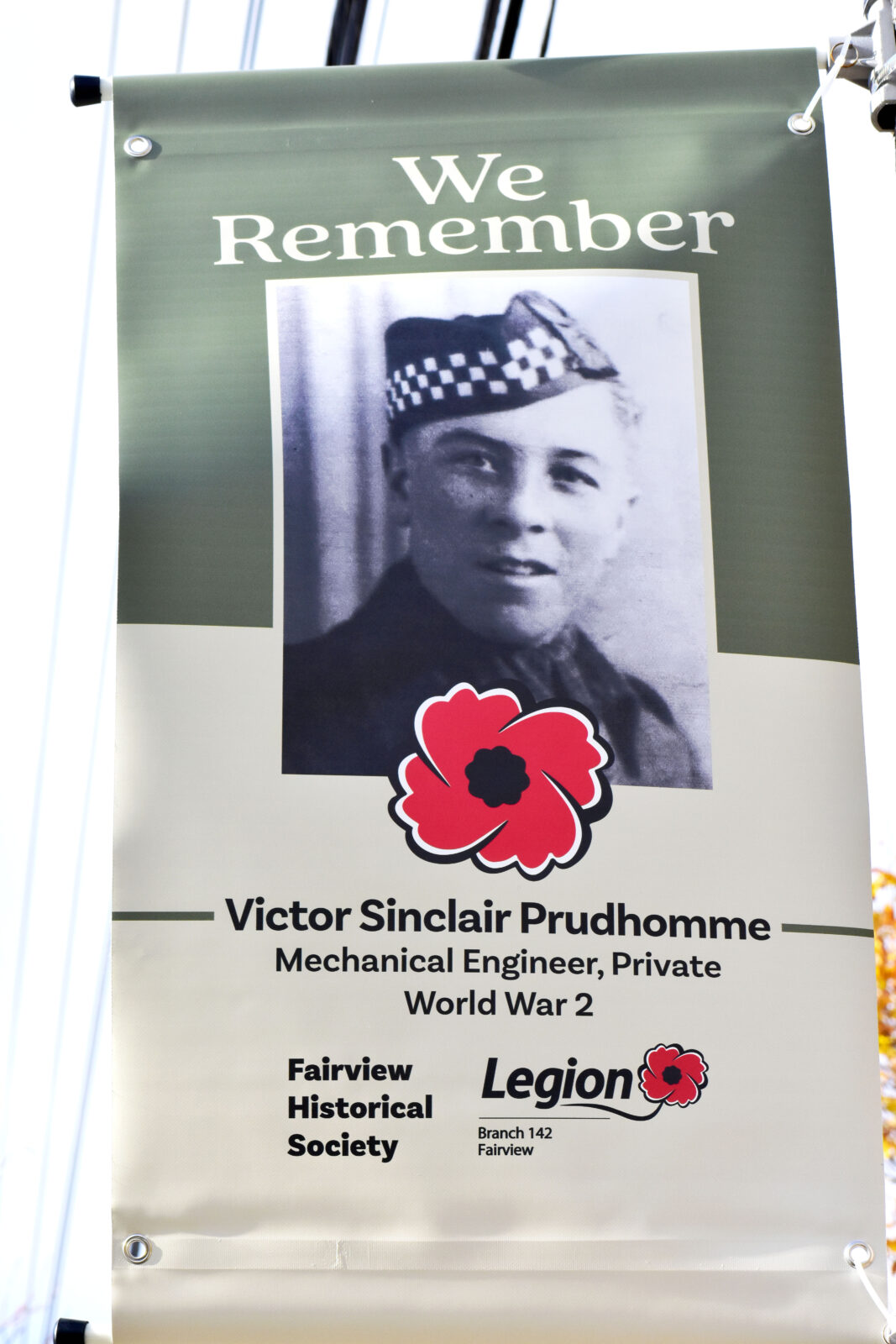
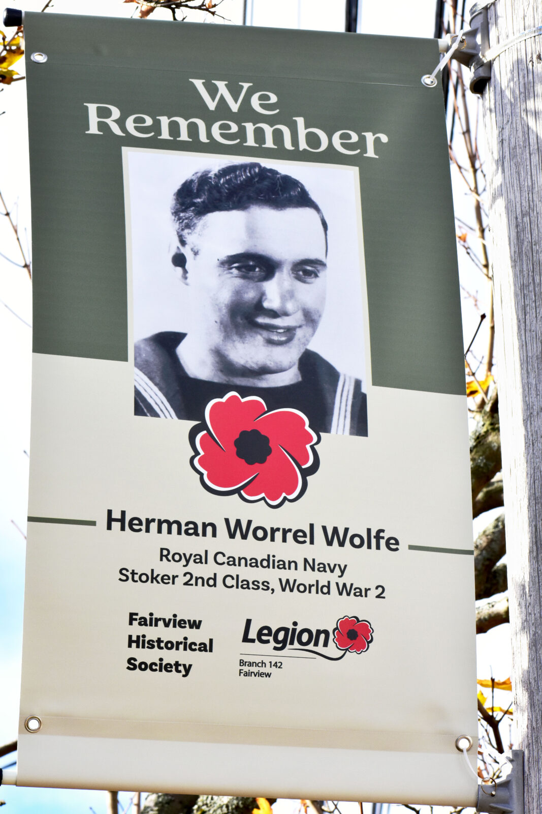
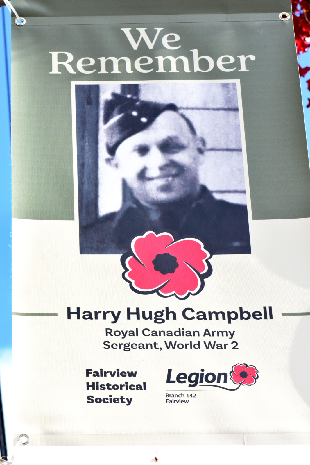
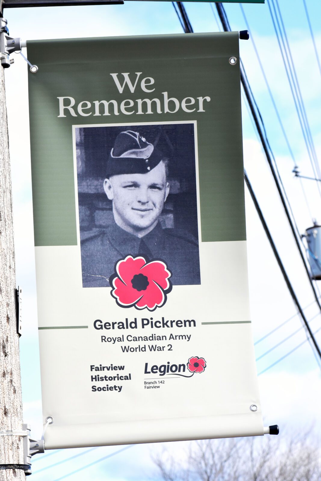
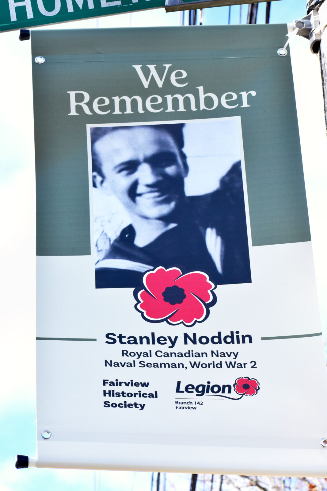
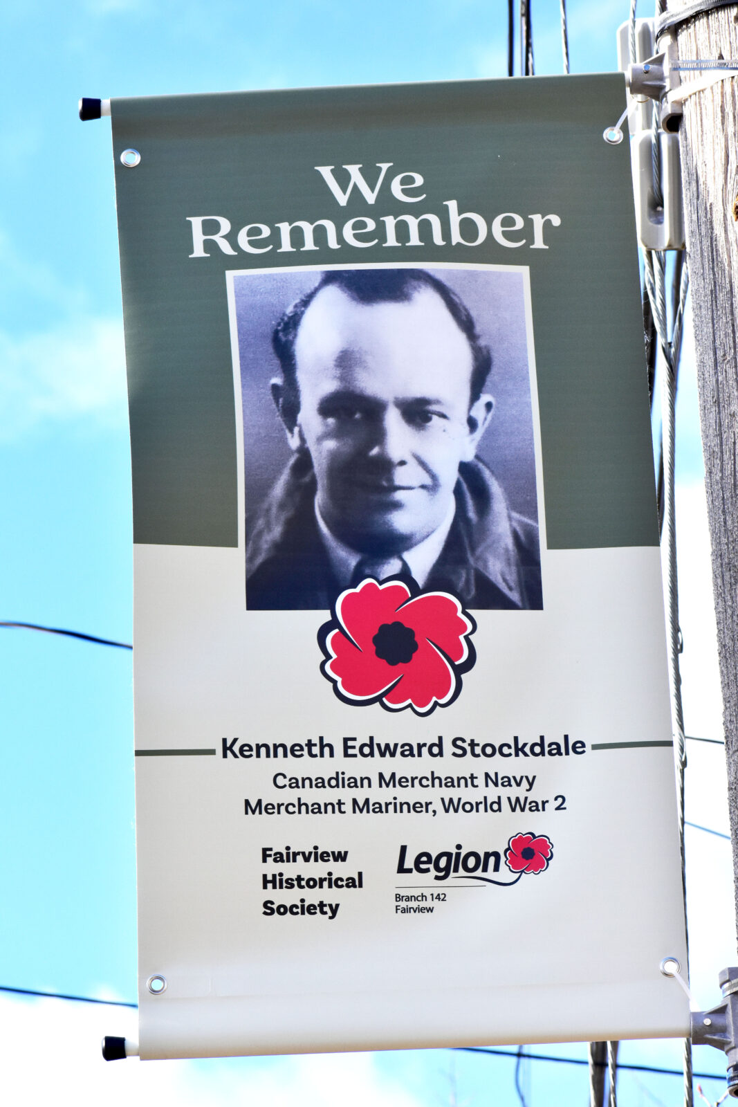
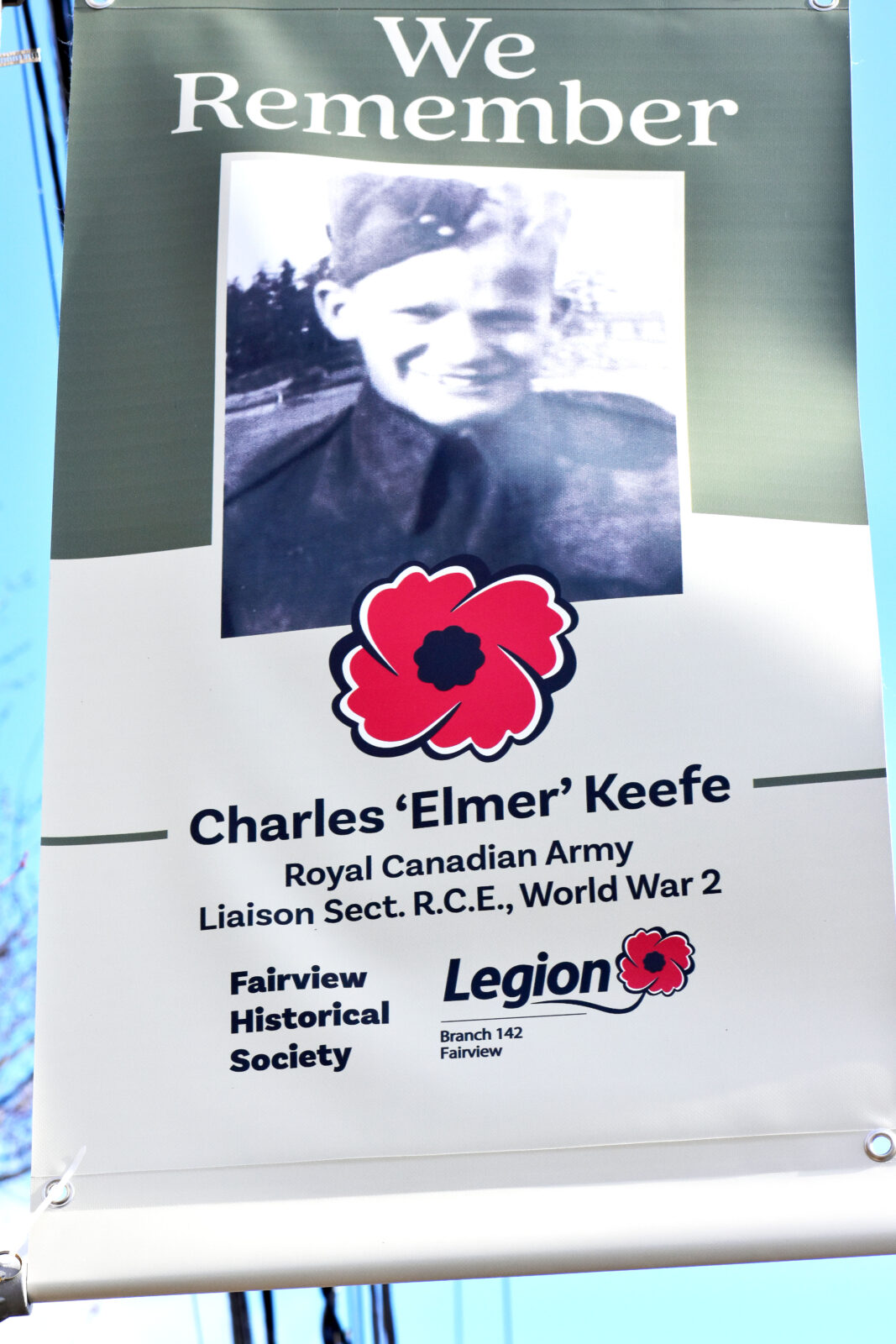
Fairview Historical Society Articles Archives
Home – Articles – Videos – eBooks & PDFs – Local Authors – Sponsors – Contact
The Peninsula Road and Blockhouses 1749-1761
Submitted by Devonna Edwards
The Peninsula Line of Defence was a chain of outposts on the isthmus separating the Halifax peninsula and the elevated mainland to the west. The colonial authorities erected three small stockade forts, where the soldiers were kept on guard. These stockades were known as the Peninsula Blockhouses and consisted of the North Blockhouse, the Middle Blockhouse and the South Blockhouse.
The Peninsula Road (Patrol Road) ran from the Bedford Basin to the Northwest Arm and was patrol by the soldiers. Anything unusual could be reported by a shot from a gun which would instantly put the whole detachment under arms. The Peninsula Road and the blockhouses were needed in the early days to protect the settlers from Mi’kmaq attacks. In 1751 work on the three blockhouses began.
The North Blockhouse
It was located in a small grassy spur of a higher hill and was about a quarter of a mile east-southeast of the Fairview shore of the Bedford Basin. The spot is nearly three miles from the city of Halifax and just inside and west of the gate of Fairview Cemetery on Windsor Street and on the northwest side of its driveway, 95 feet above sea level. Up until 1894 when the cemetery was opened, there was still evidence of the lines of the pickets, the remains of the blockhouse foundation, and the well. Also found were serpentine shaped brass side plate of an old army flint-lock musket, a pair of ancient shears, bricks, pieces of old black liquor bottles, earth-ware, etc. The view from this guard house was superb, embracing the entire expanse of the Basin.
One night a non-commissioned officer and about five privates on duty at the North Blockhouse (the other soldiers probably patrolling the Peninsula Road) were engaged in drinking and playing cards, with complete disregard for danger, when they were surprised and attacked by the Mi’Kmaq, who killed them all. Harry Piers (Curator of the Provincial Museum) said that in 1894 when the Fairview Cemetery was first cleared, a human skeleton was dug up on the northern side of the driveway near where the blockhouse stood and no one knew how it got there. Thought to be a soldier from the blockhouse or the bones could have been the remains of the young man, last name Brown, who was killed by the Mi’Kmaq in the summer of 1750. The young man accompanied his father, who was a gardener to Governor Cornwallis, and four other men to a place about three miles from town, when they were attacked and killed. The son was buried and the father’s scalped body was found on the ground and brought to the town for burial. It was not known what happened to the other four men; they were either killed or carried off.
Years later when the blockhouses were in ruins; Titus Smith (the Dutch Village Philosopher) told the story of “Tomahawk.” That was the nick-name given to the public hangman. He lived in a lonely hut on Blockhouse Hill about 175 feet east of the present gate of Fairview Cemetery. He was no less than the rum-soaked, generally debauched and much hated hangman. At length he was not seen for a time, and some men found his lifeless body in a little hut. They placed a noose of his own rope, hangman-like, about his neck and dragged his corpse to the ruins of the old blockhouse, threw it into the latrine. Titus Smith must have heard the story from the old original German settlers in 1796. When Titus examined the place a few years before 1842, he found some of Tomahawk’s whitened bones strewn about the latrine.
The Middle Blockhouse
Located to the south- southeast of the North Blockhouse, and almost precisely midway across the isthmus, near the corner of Bayers Road and Connaught Avenue. It was situated on the northwest- side, on land which after belonged to the Bayers family. An old cast-iron grape-shot was found at the site of the Middle Blockhouse on the Bayers farm ( Bayers Road). The grape-shot is 1.50 inches in diameter and weights 7 ½ ounces. They were used in very short carronade-like cannons, with which the upper-story of the old blockhouses were always armed.
The South Blockhouse
Located about 555 feet from the shore, at the head of the Northwest Arm. It was on a tiny mound or slight shoulder of the hillside, some 150 feet east- southeast of Chebucto Road and approx. 175 feet above the center of the railway at Armdale. Bits of earth-ware, bricks, old copper coins, evidently lost when the soldier were playing “pitch and toss,” as well as old stumpy liquor bottles were found by workmen digging in the area. At the Northwest Arm about a quarter of a mile from the South Blockhouse, there was a saw-mill in operation. The Mi’Kmaq attacked and killed three men there. The guards from the South Blockhouse buried them near the blockhouse, but the enemy, in defiance of the soldiers, three times dug up the bodies in an effort to secure the scalps. The soldiers had to bury the bodies away from the blockhouse in an unknown spot so they could not be found.
Around 1761 the blockhouses were no longer needed, owning to the lessening and final cessation of danger. They became deserted and fell into ruin.
A Description of a Blockhouse
When the site was chosen, the trees were cleared within a 100 yards around the area.
The walls were made of stout soft wood timber, probably white pine, squared with a broad-axe to a horizontal thickness of six inches. They were fastened together, one above the other with vertical hardwood tree-nails, driven into auger holes, as was done in constructing a log-house. At the corners they were halved and also pinned together.
The lower story was twelve feet square outside and 9 feet 2 inches high outside, to the projecting base of the upper story; but inside from floor to ceiling was 8 feet 8 inches. On the rear side was a heavily- barred door of 2 ½ or 3 inch in plank, opening outward. The massive walls were pierced by 16 loopholes for musketry. There were three in each wall and one in each corner. Near one corner of the room was a rack for muskets. In the middle of the floor was a brick hearth for an iron stove whose brick chimney went out alongside the point of the roof. Steep steps led through a 5 feet 10 inch trap-door to the upper story and this door could be shut down to form a continuous flooring.
The upper story was considerably larger than the lower story.
The walls were pierced by 20 radiating loopholes for musketry. In the middle of each was a port-hole about 1 ½ feet square with considerable lateral spray only, and with its center 2 feet 3 inches above the floor, for the service of a short, small calibre gun, probably in a swivel mounting, possibly bolted to the floor near the port.
The Stockade or Palisades
Each blockhouse was completely surrounded by a massive close-set stockade or palisade of double pickets. This enclosure was an isosceles triangle in form, with the more acute angle or salient directed to the point from which an attack was most likely to come. The double pickets used in constructing the stockade were merely round tree trunks, each 6 inches in diameter and about 10 feet long, of which 3 feet were firmly embedded in the ground and spiked to a stringer and the upper parts spiked to another stringer inside.
Fort McAlpine Blockhouse
Located on what was once known as Blockhouse Hill on Windsor Street, near Strawberry Hill Street. Today a car dealership occupies the site.
The military assembled a workforce and built a large pentagonal blockhouse on John McAlpine’s property in the spring of 1808.
Fort McAlpine was built to guard the northern approach (Windsor Road) to Halifax from an American attack leading up to the War of 1812. The fort was defended by two, 12 pounder carronades in the upper story of the blockhouse. When the war scare ended, the army took their armaments and the blockhouse was allowed to deteriorate.
 |  |
|---|
 |  |
|---|
 |  |
|---|